Practical support for data-heavy projects.
We help government agencies and prime contractors turn geospatial data, range records, and project requirements into organized work that is ready to use.
Three clear ways to use us.
Bring us a defined workstream, a backlog, or a requirement that needs a dependable owner. We agree on the inputs, output, schedule, and handoff before work begins.
Geospatial production
Data cleanup, feature editing, source reconciliation, map production, metadata, and final QA.
02Range data and records
Range GIS, RFMSS and RMTK data support, utilization records, terrain layers, and program documentation.
03Project evidence and closeout
Requirement tracking, progress records, submittal logs, acceptance evidence, and organized final files.
See how the work is actually bought.
Our Federal Geospatial Spending Radar links 45 reviewed USAspending awards, 10 parent vehicles, and three SAM.gov notices. It shows real buying patterns without treating a selected sample as market size or a contract end date as a forecast.
Built to turn complex source material into something usable.
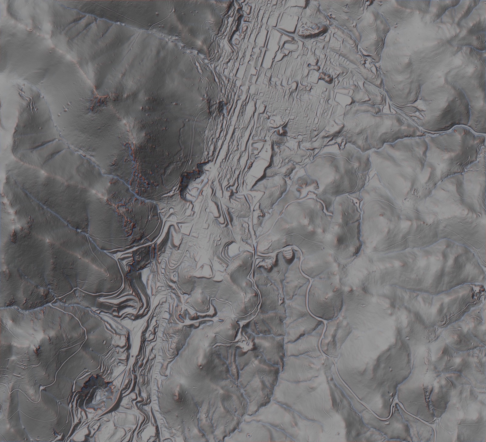
TalonView is a Falconer-built terrain review system. It brings elevation, surface conditions, distances and site notes into one working view. The image is shown as workflow proof, not customer past performance.
A finished package another person can follow.
Finished files
The agreed data, maps, records, trackers, or project package in the required format.
A clear QA record
Source notes, checks, discrepancies, and the decisions that shaped the finished work.
Open items and history
Anything still unresolved, plus the revisions and change history the next person needs.
Have a requirement or backlog?
Send a short, non-sensitive description or the public solicitation number. We will reply by email with whether it fits and what we need next.